 |
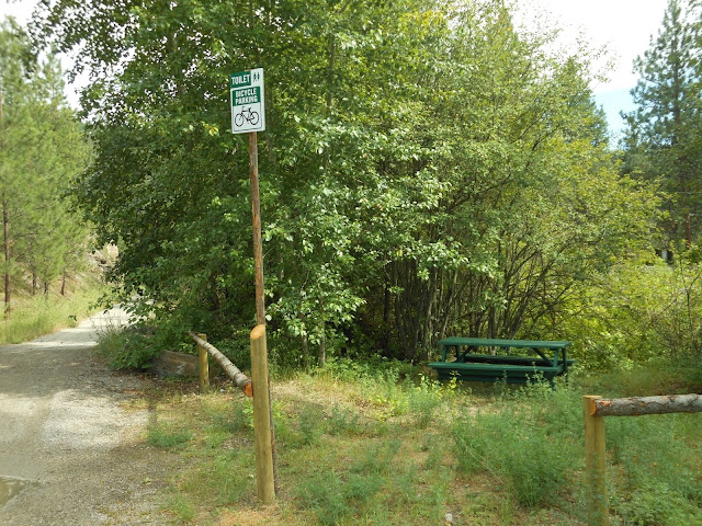
| Intersection of Smethurst Road and the TCT |
We started our search for the KVR (Trans Canada Trail) Stone Ovens by driving up Smethurst Road until we arrive at a small parking lot and a few directional signs. The directional signs were useful. Without them, our journey might have taken us into Penticton.
Note the "odd" bicycle parking sign. Really?! Here in the middle of nowhere! Oh well....
 |
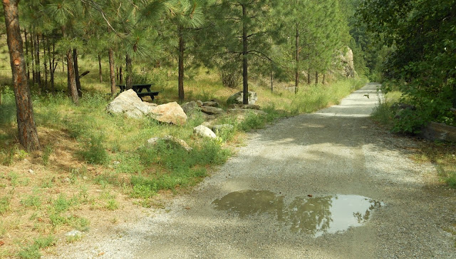
| Looking along the Trans Canada Trail above Naramata |
It's
It's probably a good thing it rained earlier in the day. The moisture should keep the dust down.
I learned several things from the various directional signs, including the fact that this section of the TCT is multi-use. In this case multi-use includes motorized vehicles (30kpm speed limit). Until today, I'd always assumed it was restricted to hikers, cyclists and horseback riders. Not so, apparently.
 |
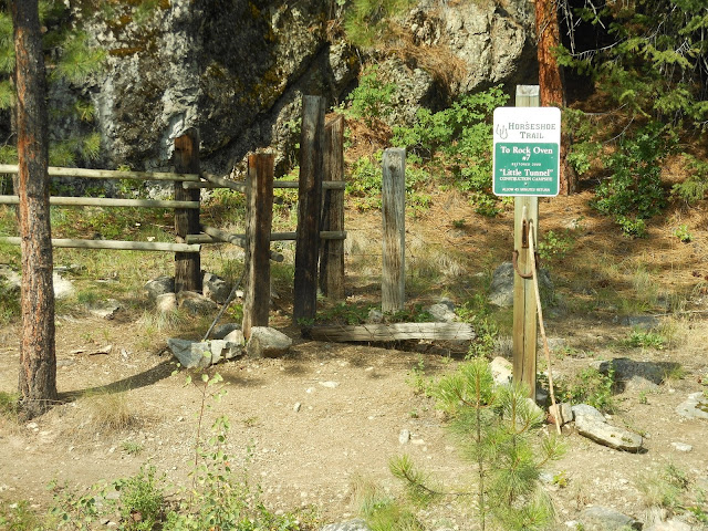
| Horseshoe Trail off the KVR, Naramata section |
The "Horseshoe Trail" leads to Rock oven #7. Thus, it's off our beaten track for today.
When I first saw this map, it didn't seem to tell me much. Now, in retrospect, I see it is quite useful.
Later, after a sharp turn that takes us back in the direction we're currently travelling, but higher up, we will visit ovens #4, #5, and #6.
The bread from Stone Oven #7 fed the men who blasted this rock, to get at what would become know as the "Little Tunnel".
With the "Little Tunnel" ahead of us, I turn back to take a picture of the trail we've just driven along.
 |
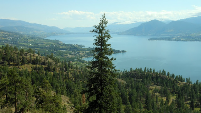
| Okanagan Lake |
Shifting the camera just a bit to the right, we get a view over Okanagan Lake, with Naramata at the point of land on the left, and Penticton way in the distance.
"Little Tunnel"
"Little Tunnel"


No comments:
Post a Comment